
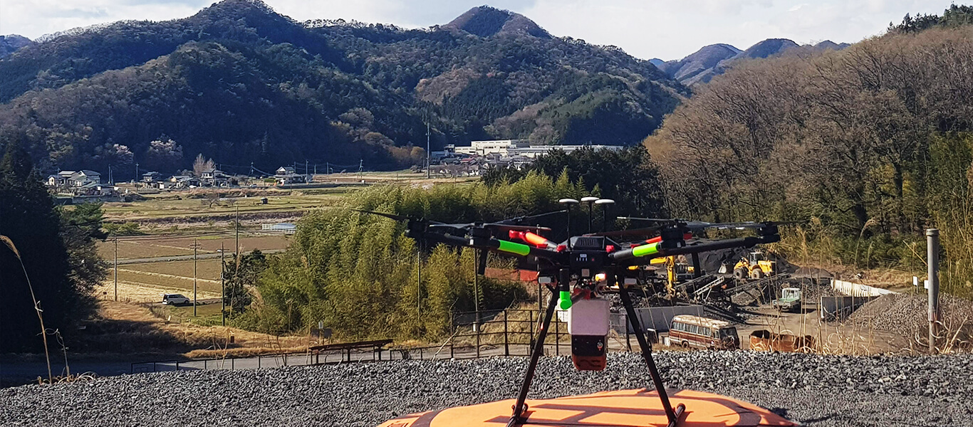
Site Survey
Terrain mapping |

The Requirements
This flight was used to determine the depth of vegetation penetration of the RN50 Lidar sensor as well as test the alignment of data against commonly used Malaysian projections.

The Solution
Flying Height: 55 m AGL
Flying Speed: 7.5 m/s
Base Station: Trimble R5 with Zephyr 3 Antenna
Area covered: 16 ha (one flight on DJI M600 Pro with TB47s batteries)

The Results
The dataset was then colourised using a separate flight from an RGB system

"The Nextcore RN Series has allowed our business to adapt and grow. By purchasing reliable technology from a company that supports their product we've been able to win more work and differentiate ourselves from the competition"
Ben Plummer, Drone Technologies New Zealand
Speak to our expert support team…
We have an expert support team and global network of distributors who can demo our products and discuss your specific project requirements, so use the form below to get in touch or check our distributors list here.