
Using LiDAR to Survey Vegetation
Terrain mapping |

The Requirements
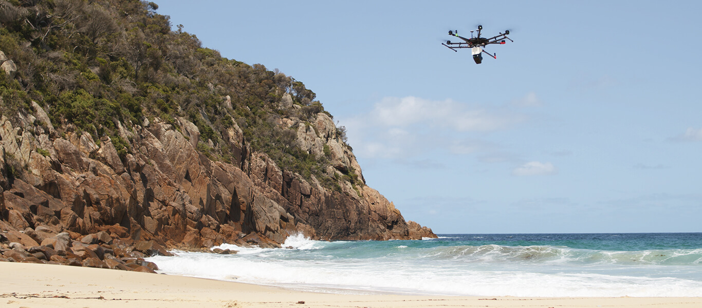
Airsight contracted by National Parks and Wildlife Service Australia to conduct a survey of Tomaree Headland in Port Stephens, Australia. Survey grade accuracy was required in order to design a new walkway for this iconic feature. As the headland was steep and highly vegetated, traditional survey techniques such as the use of hand-held RTK Rovers would have been dangerous and would have taken a large team over a week to conduct.

The Solution
Airsight conducted two flights using the Nextcore RN50 attached to a DJI m600. The total flight time was 42 minutes at an average altitiude of 50 metres AGL. The flight height was maintained using Drone Harmony for flight planning and the site was flown in a grid mission. A Septentrio Altus NR3 was used for static observations to be used in post-processing. The data was post-processed using Nextcore Fusion Software and a *.laz file was produced in under one hour.

The Results
The resulting dataset was checked against pre-defined check points to ensure accuracy. A total accuracy of 50mm RMSE was acheived accross the site. Further deliverables such as contour maps and Digital Terrain Models were provided the following day. Overall the job was conducted at less than a third of other quotes.

"The Nextcore RN Series has allowed our business to adapt and grow. By purchasing reliable technology from a company that supports their product we've been able to win more work and differentiate ourselves from the competition"
Ben Plummer, Drone Technologies New Zealand
Speak to our expert support team…
We have an expert support team and global network of distributors who can demo our products and discuss your specific project requirements, so use the form below to get in touch or check our distributors list here.