
Case Studies
Nextcore systems can be used in a range of environments to solve many industrial problems. Our Case Studies highlight some of the ways our system can be used to save time and cost and reduce the use of people in challenging environments.
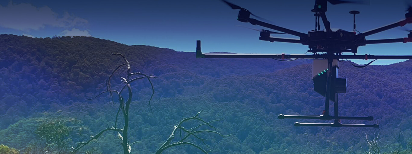
Using LiDAR to Survey Vegetation
Terrain mapping
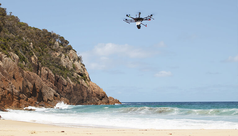
Airsight contracted by National Parks and Wildlife Service Australia to conduct a survey of Tomaree Headland in Port Stephens, Australia.

Site Survey
Terrain mapping
This flight was used to determine the depth of vegetation penetration of the RN50 Lidar sensor as well as test the alignment of data against commonly used Malaysian projections.