Capturing spatial data can be a complicated and time consuming process. Depending on what type of spatial data you need to capture, you have many different techniques available to you. Drones have innovated the way spatial data is captured. In many ways, they allow for high resolution, accurate data to be captured quickly, easily and cheaply.
There are two leading techniques for capturing spatial data with drones, these are photogrammetry and LiDAR. Many excellent articles explain photogrammetry so we won’t go into it too much here, but it relies on stitching together thousands of images. To create a 3D mesh of an area requires a minimum of 85% overlap. Using Ground Control Points (GCPs) increases accuracy of the model and ties it to a coordinate system. The mesh created by photogrammetry is used for extracting a point cloud, DTM, measurements and more.
What is photogrammetry surveying good for?
Photogrammetry is great as it has a low entry requirement but it has some significant downsides. The first of which is it’s complexity. Photogrammetry is one of those things where you get out what you put in. While it may be easy to get a model from one of the many available software services, the accuracy of that data can be unreliable at best. That’s not to say that you can’t get accurate data from photogrammetry. However, it is much harder than people realise and often requires a lot more knowledge and higher end equipment.
Also, no matter how well you conduct your mission, you are going to struggle to get accurate data when there is vegetation in the way. Photogrammetry is inappropriate to use in greenfield and vegetated sights. You cannot rely on the accuracy of the data for extracting a true ground model.
The 3 main advantages of LiDAR vs Photogrammetry
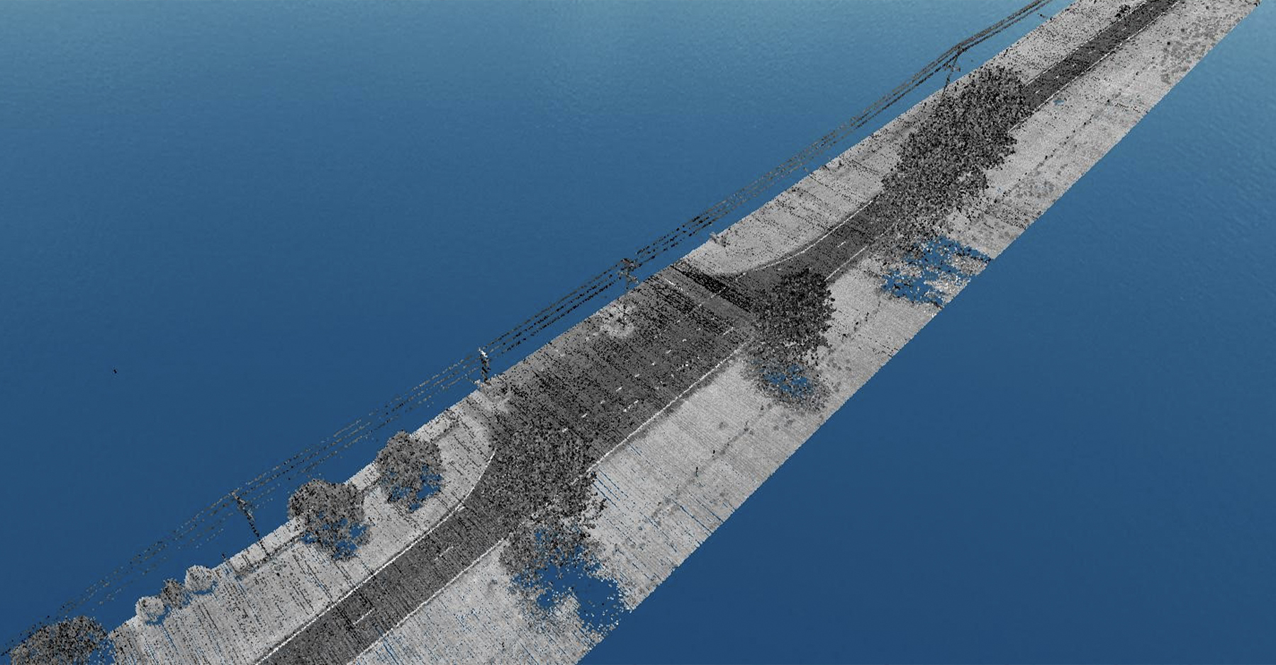
Drone LiDAR is essentially a mobile LiDAR system carried on a UAV, or drone. It utilises a LiDAR sensor combined with an accurate IMU (Inertial Measurement Unit) and GNSS system. Compared to Photogrammetry, you use LiDAR to create highly accurate point cloud data.
UAV LiDAR allows you to capture spatial data while you’re flying. It doesn’t rely on complex post-processing methods before you know if what you’ve captured is high quality. This means that you can capture high quality spatial data from a single pass. This allows you to check your data in the field to ensure you’ve captured what you need. You can then refine the data captured in post.
Time of acquisition
From start to finish, Drone LiDAR boasts significantly faster capture and processing time when compared to photogrammetry. The capture process for photogrammetry requires you to walk a significant proportion of the area, placing ground controls in order to ensure accuracy.
LiDAR reduces time to delivery of data when compared to photogrammetry. Doing so often allows a deliverable dataset to be produced in hours and rather than days.
Amount of data
The amount of data required for an accurate Photogrammetry model is many, many times that of a LiDAR Point cloud. This is due to the sheer volume of images required to produce a 3D rendering.
Canopy penetration
In vegetation LiDAR is the superior system. This is especially the case where a system can get multiple returns meaning that each laser pulse gets multiple returns. This increases the chances of reading data through vegetation to get ground models. This feature of Drone LiDAR also offers a secondary benefit of reduced need for human input on the ground.
The Pros & Cons of Drone LiDAR vs Photogrammetry
Photogrammetry:
Pros:
- Relatively low entry cost
Cons:
- No penetration of vegetation
- Time lost setting up surveys and processing data
- High cost for additional data processing
- Less accurate data
LiDAR:
Pros:
- More reliable data
- Better canopy penetration
- Shorter processing times
- Reduced risks with less reliance on human input
Cons:
- Higher start up cost (read our article about the Nextcore RN series drone LiDAR costs – it’s less than many expect)
Speak to our expert support team…
We have an expert support team and global network of distributors who can demo our products and discuss your specific project requirements, so use the form below to get in touch or check our distributors list here.

